Part 1: Photoscan | Part 2: VisualSFM+MeshRecon | Part 3: VisualSFM+PMVS+Meshlab | Part 4: OpenMVG + MVE | Part 5: MVE | Part 6: ReMake | Part 7: SMVS (+MVE) | Part 8: COLMAP | Part 9: 3DF Zephyr Free | Part 10: MicMac | Part 11: VisualSFM + openMVS, & COLMAP + openMVS |... Continue Reading →
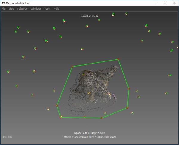
Photogrammetry Testing 10: MicMac
Part 1: Photoscan | Part 2: VisualSFM+MeshRecon | Part 3: VisualSFM+PMVS+Meshlab | Part 4: OpenMVG + MVE | Part 5: MVE | Part 6: ReMake | Part 7: SMVS (+MVE) | Part 8: COLMAP | Part 9: 3DF Zephyr Free | Part 10: MicMac | Part 11: VisualSFM + openMVS, & COLMAP + openMVS |... Continue Reading →
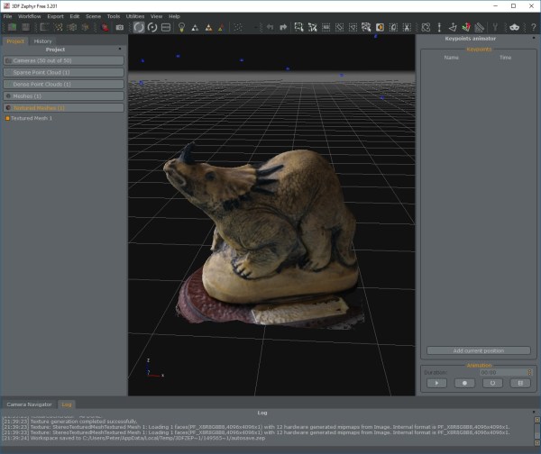
Photogrammetry Testing 9: 3DF Zephyr Free
Part 1: Photoscan | Part 2: VisualSFM+MeshRecon | Part 3: VisualSFM+PMVS+Meshlab | Part 4: OpenMVG + MVE | Part 5: MVE | Part 6: ReMake | Part 7: SMVS (+MVE) | Part 8: COLMAP | Part 9: 3DF Zephyr Free | Part 10: MicMac | Part 11: VisualSFM + openMVS, & COLMAP + openMVS |... Continue Reading →
How to generate a height map with CloudCompare

This should give you the basics to generate a heat map of height for a 3D model (in this case a fossil dinosaur footprint), using CloudCompare (One of my top choices of freely available software*). I’m going to assume you have a model correctly scaled, but not necessarily oriented to any specific world axis. The... Continue Reading →
Photogrammetry Testing: Doing it properly (by someone else)
If you've been following my vague attempts to try different pieces of photogrammetry software, I imagine you will be very interested indeed to read the following paper: Knapitsch et al 2017 (link to paper at the bottom of that page). The authors generate some lovely ground truth data with laser scanners, then record images with... Continue Reading →
